
WAYABLES
From Space to Street.
From Insight to Action.
One connected platform for smarter, more responsive cities.
Existing technology. New possibilities.
“Connecting Earth observation, municipal information, citizen participation and urban operations.”
Cities have more data than ever.
Yet it rarely reaches the people who need it.
Cities increasingly rely on digital systems to manage infrastructure, environmental information, public services and citizen communication. Yet information is often fragmented across disconnected applications, departments and service providers.
Fragmented Digital Services
Municipal services operate through separate applications. Citizens navigate multiple platforms; authorities lack a unified view.
Disconnected Information
Observations, environmental data and operational information remain separated and do not flow consistently to decision-makers.
Limited Resources
Maintaining many independent applications creates operational complexity, duplicated costs and cybersecurity challenges.
Limited Citizen Engagement
Standalone apps struggle to attract regular users, so important notifications may not reach residents when it matters most.
Fragmented City
From fragmented applications to one connected digital ecosystem.
Wayables does not need to replace existing municipal back-end systems. It connects them through one unified platform and user experience.
One platform. Multiple data sources.
Two-way intelligence.
Wayables builds on an established technology foundation originally developed by BitApps for forestry and geospatial operations.

From space to street
Satellites
Earth observation provides location-based environmental information and change detection.
Select a node to see how information flows in both directions.
One technology foundation.
Multiple urban applications.
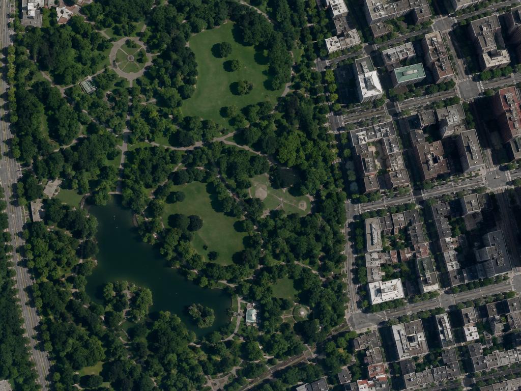
- Urban green space monitoring
- Environmental observations
- Land-use change detection
- Infrastructure-related observations
- Local situational awareness
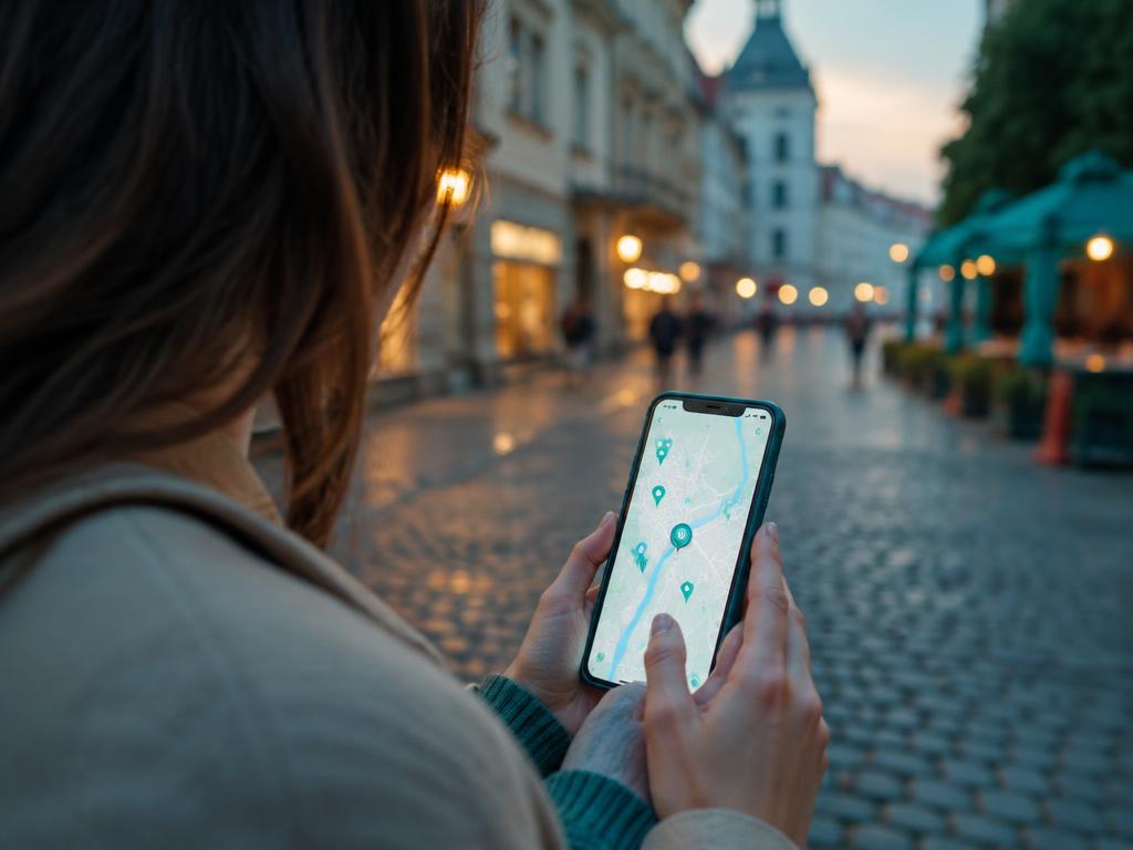

Beyond information sharing.
Connected data. Collective intelligence. Verified observations.
A. Crowdsourced Urban Intelligence
Residents can become contributors to local situational awareness. Community verification is a potential city-specific feature to be developed together with partners.
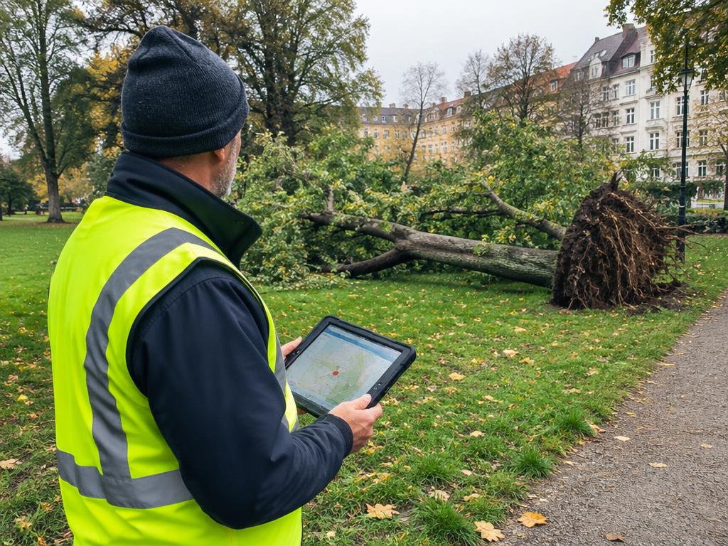
A resident reports a fallen tree blocking a public walking path.
- 1Observation submitted
- 2Location identified
- 3Observation verified
- 4Municipal team notified
- 5Contractor assigned
- 6Issue resolved
B. Connecting Existing Municipal Systems
Integration instead of application proliferation: one interaction layer that reduces the need for a separate citizen app for every service. Integrations are defined per city.
C. European Digital Sovereignty
Wayables’ urban applications can be developed with European data governance, interoperability and digital sovereignty requirements in mind.
Deployment architecture, security controls and integration requirements can be defined together with municipal and technology partners.
Existing technology.
New possibilities for cities.
Wayables is not a concept starting from zero. Its foundation originates from real BitApps applications in forestry and geospatial operations.
- Established geospatial platform
- Satellite-based monitoring capabilities
- Location-based information management
- Digital information sharing
- Operational workflow capabilities
- Unified municipal digital services
- Citizen participation & crowdsourced observations
- Community-based observation verification
- Municipal system integrations
- City-specific operational workflows
- Resilience & crisis communication applications
Built on existing technology.
Shaped by urban needs.
We combine an established technology foundation with the opportunity to develop city-specific applications together with municipalities and strategic partners.
Let’s explore the possibilities.
We are looking to engage with forward-thinking cities, municipalities and technology partners interested in connected urban intelligence and more integrated digital services.
Let’s connect.
- Company
- BitApps Group
- info@bitapp.fi
- Website
- www.bitapps.fi
© BitApps Group · Use ← → or arrow keys to navigate · Press P for presentation mode